
| Name | Price | Quantity |
| Ground control point (5pcs./km^2) | 15 EURO | |
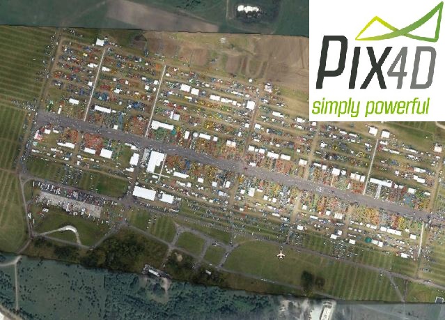
| Resolution 1-5 cm/pix | 15 EURO |
Data processing service for the data obtained by client. Photos should have geotags or there should be file with geotags attached. Minimal along and side overlap should total 60%. The result of data processing are RGB orthophotomap and DSM. In standard we provide 5-10 cm/pix resolution, where the exact resolution depends from quality of the provided data. Eventually, client is provided with the link to load the final products. We kindly ask to declare expected coordinate system.
Important! Projects smaller than 1km^2 are charged as for 1km^2.
Options:
See gallery and learn more about our other products


