
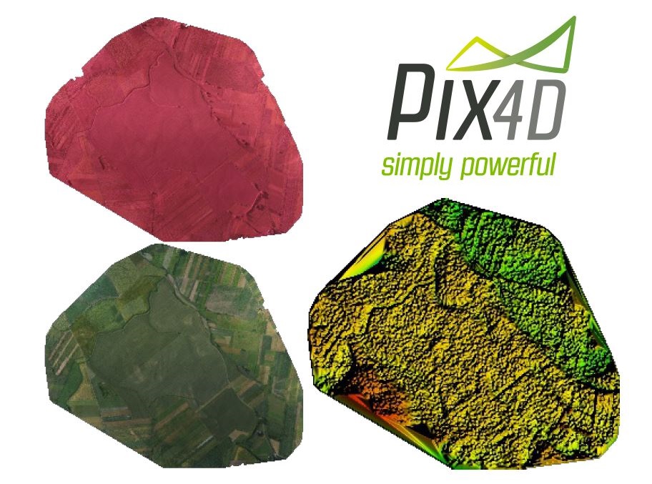
Data processing for precision agriculture
Add to cart| Name | Price | Quantity |
| Ground control point (5 pcs/km^2) | 15 EURO | |
| Additional vegetation index | 20 EURO |
Data processing service for the data obtained by client. Photos should have geotags or there should be file with geotags attached. Minimal along and side overlap should total 60%. Photos should have been taken with multispectral camera or with the set of 2 cameras where one is standard RGB and the second one is modified into NIR. The result of data processing is NDVI map or the map of any other index. In standard we provide 5-10 cm/pix resolution, where the exact resolution depends from quality of the provided data. Eventually, client is provided with the link to load the final products.
Options:
See gallery and learn more about our other products


